Printing Maps with Spot Colors—talk
Hosted By
Labels
Recording
Recording of Printing Maps with Spot Colors
Abstract
… using Qgis and Scribus with a little help from Inkscape, and Ghostscript.
A happy-ending story about finding out the tips and tricks along the way.
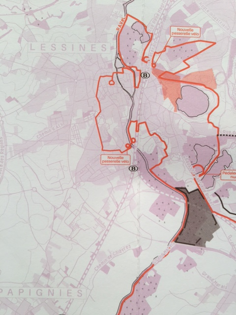
Last November, we’ve been comissioned to produce a small series of printed maps for a cultural center in Lessines, Belgium, to celebrate memories of Louis Scutenaire and René Magritte. We aimed for a project using three colors, and decided to go for spot color printing - using libre graphics tools, mainly QGIS for the design of the map, and Scribus for layout elements and to prepare the pdfs for printing.
We also used Inkscape to vectorize some small illustrations, as well as Ghostscript to check and sometimes fix the resulting PDFs.
Then, once we decided that it would be spot color printing, we had to find out a workflow from QGIS to Scribus in order to produce PDFs for spot-color printing. It was not without a few obstacles that we encountered, as both QGIS and Scribus present limitations in terms of color processing or vector rendering.
We will present our productive investigation into both QGIS and Scribus, describe how we use QGIS functionalities to optimize the maps for spot color printing and show the tips and tricks we learned along the way - and share the results, hoping to inspire other mapmakers around to give it a try.
